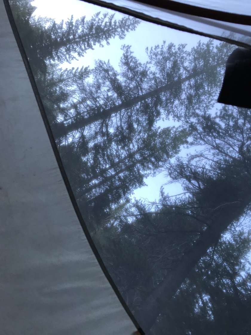
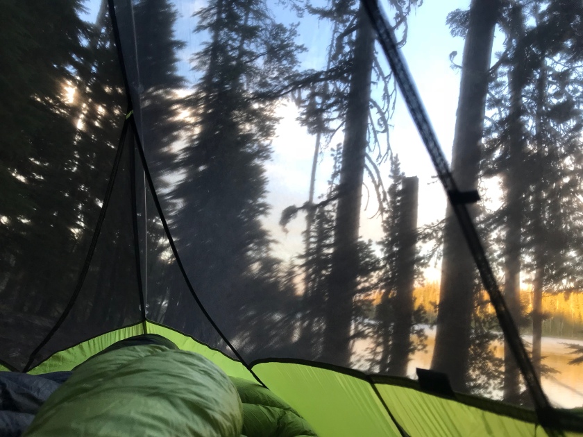
During the last 5 months we lived in nature, slept in our tent somewhere along the trail, everyday somewhere new, but always under the stars. (One time under a bridge).
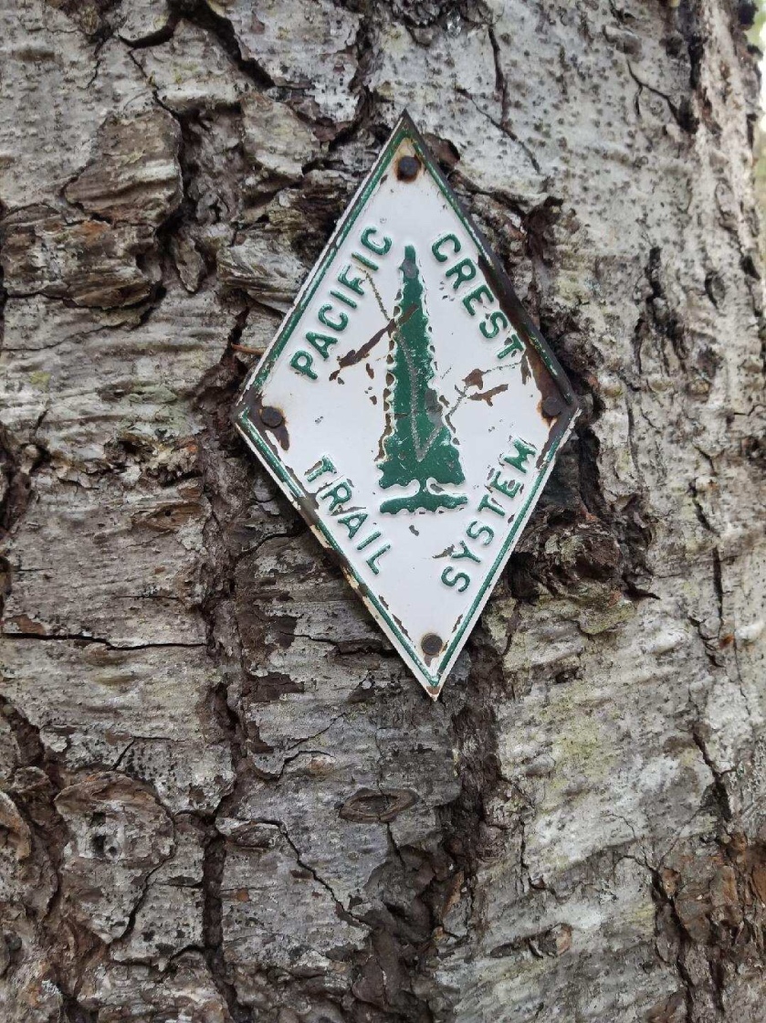
The PCT was our home.
The last few weeks were hard, emotionally. We were ready to be done, however we knew our freedom will be over. We had some days when it was raining all day and we were wet and cold.
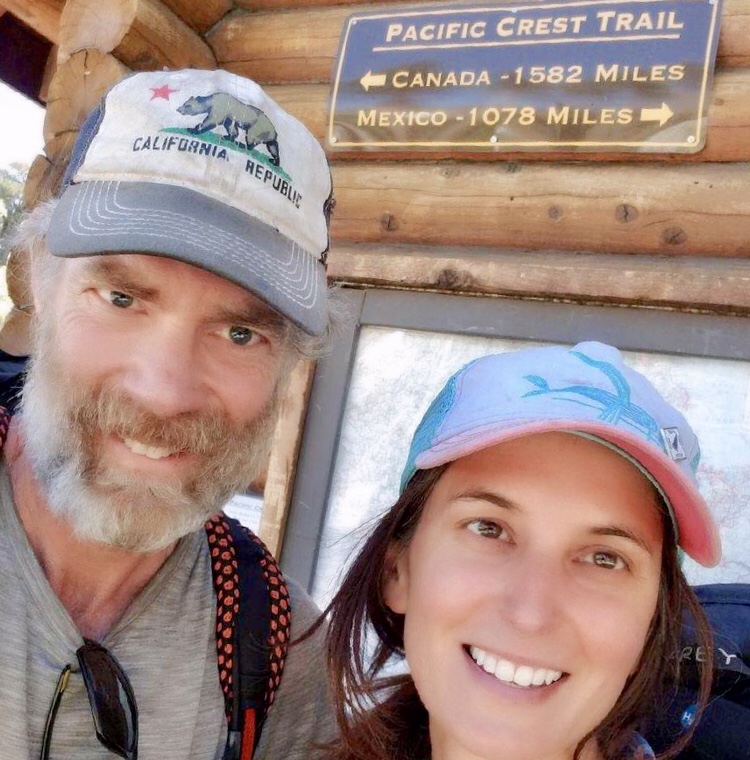
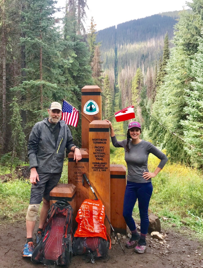
After all it was really hard to walk off the trail for good after we reached the end at the monument. As we walked to Canada, we both felt happy that we did it and we felt sad to say Goodbye.
It’s absolutely amazing that you can walk from Mexico to Canada on a beautiful trail. Who wouldn’t do that?
Thanks for our family and friends to supporting us and thinking of us.
If trail angels are reading my blog, I want to say special thanks to them. We remember all of you very well. Thank you for taking care of us.
It’s hard to believe that it’s over now, we will cherish this memory forever!
Today we’re in a little ski town called Snoqualmie Pass, about half way through Washington. We’re taking our final rest day of the trip today. After this, we’ll just have one 200 mile push to the end.
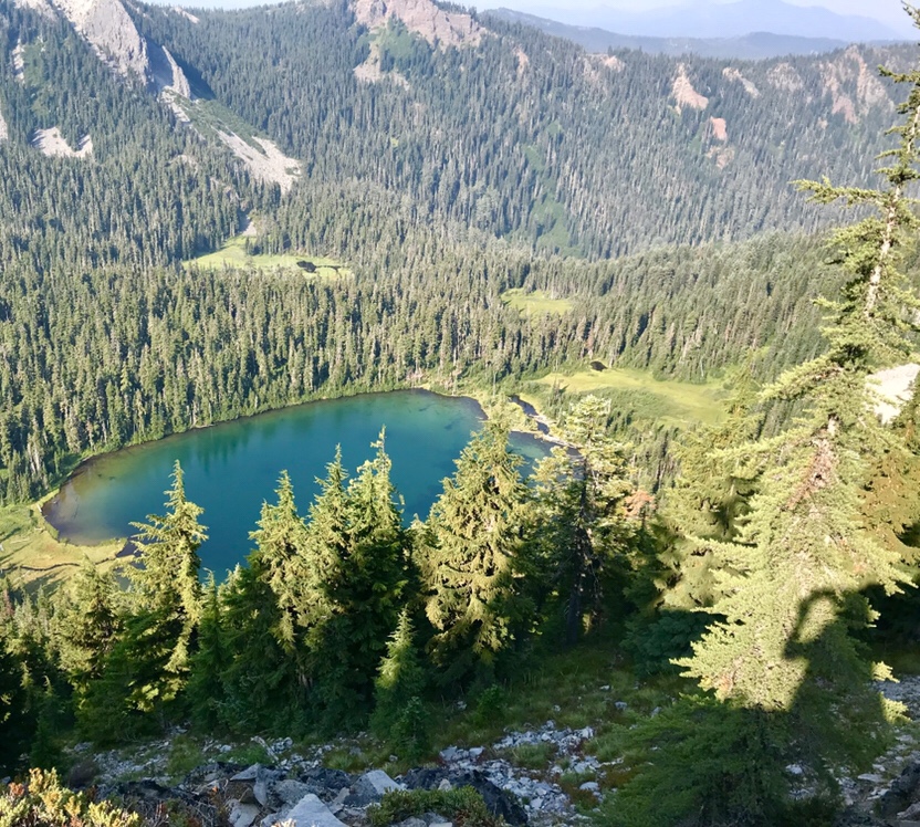
We’ve been loving Washington. It’s hillier and cooler than Oregon, and the scenery is spectacular.
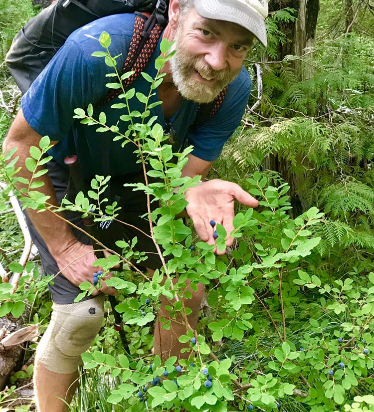
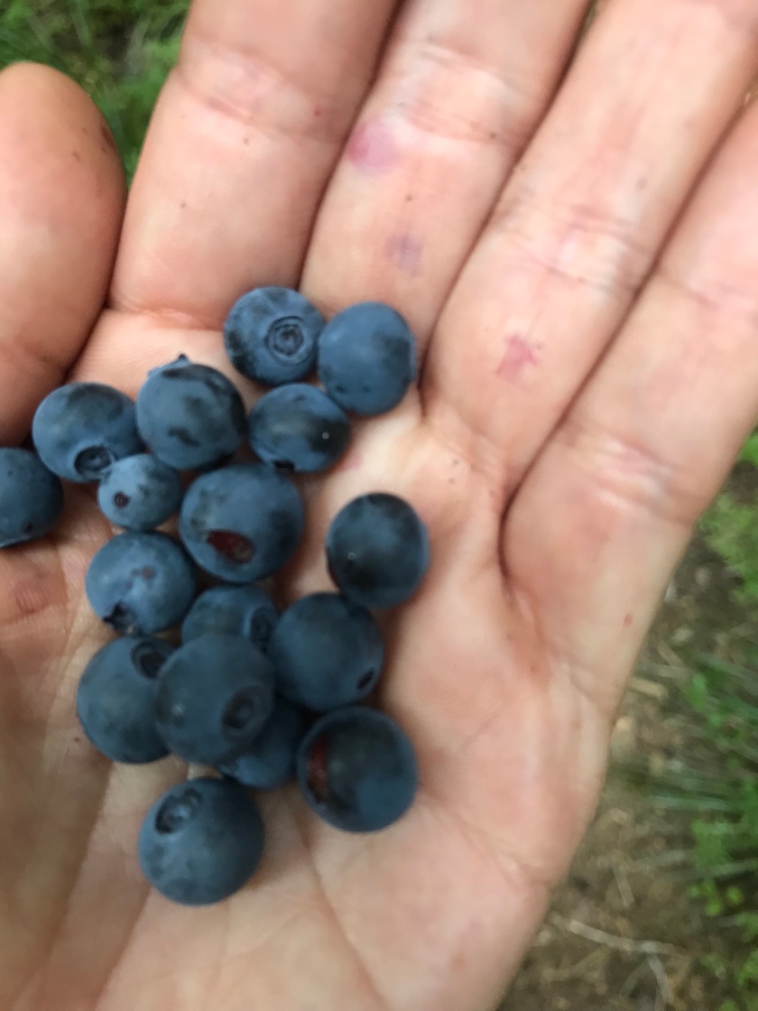
We’re here in peak berry season. Blueberries and huckleberries line the trail almost everywhere, with some occasional raspberries and salmonberries thrown in. We eat them constantly as we hike, and every once in a while we just sit down in a patch of them and gorge. We’ve been craving fresh fruit the whole trip, and eating loads of berries helps satisfy that craving.
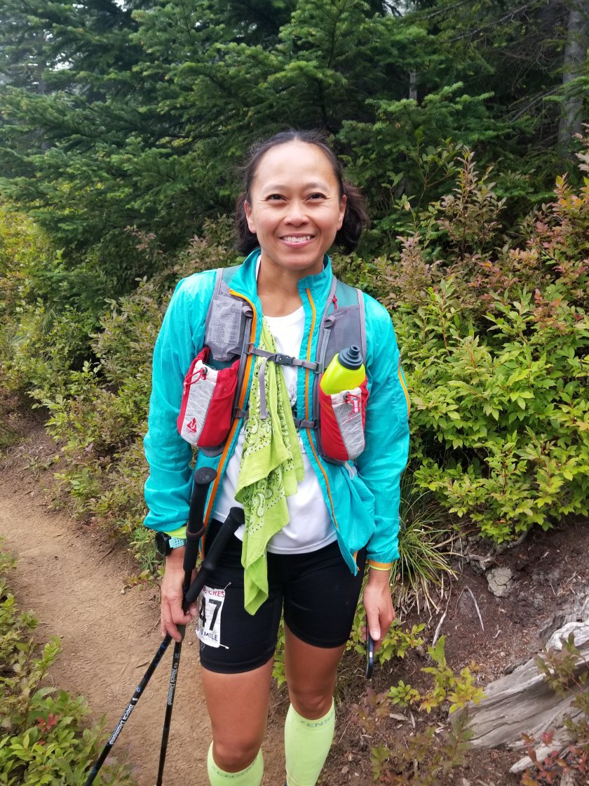
Margo taking a blueberry break
Two days ago (on Saturday), we found ourselves in the middle of an ultra marathon, the Cascade Crest 100 mile run. These nut jobs start running at 9am on Saturday, and don’t sleep until they’ve finished 100 miles. For most of them this takes until Sunday afternoon. Initially I was worried that sharing the trail with so many people who were always running up behind us would be annoying, but it was actually a blast. They energized us, and helped break up the monotony of walking day after day. We were with them around miles 20-30 of their run, so they were still pretty fresh and happy. They were fun to chat with as they ran by. They marveled at what we were doing, and we marveled right back at them. Also, the race aid stations gave us some delicious, carby race food. That got us on their side real quick.
This has been a bad year for wildfires, and we still have 2 north of us that will impact us. The first is a 20 mile section that is closed. This one will require a detour through a little village called Holden, then a boat ride to a place called Steheiken get back on track. That one isn’t too bad, and actually sounds kind of fun, as long as the smoke isn’t too bad.
The second fire is a real bummer for us though. The last 60 miles of the trail before the Canadian border are closed. So we’ve decided to end our hike at the closure, at Rainy Pass. We may drive around to Manning Park in Canada and hike south for a day to the monument that is the official end of the PCT – for now its still legal to get to the monument that way. But it’s a shame we won’t be able to hike straight to the border like we’d planned.
But, we’ve still got 200 miles of hiking ahead of us, and everyone says the best of Washington is still to come. We’ll savor every bit of it.
This is Mike writing. Since we have pretty limited time with internet connectivity, Margo has decided she’s going to use that time to start looking for a post-hike job. So I’m taking over the blog, at least for now.
Our journey into Washington started out by crossing the Columbia River over the Bridge of the Gods. That was a neat experience. Since the CA/OR border was closed due to fire when we passed by, this was our only state line crossing on the whole hike. Of course, we documented it well with photos.
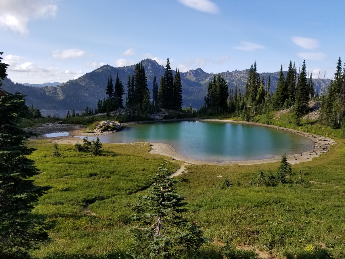
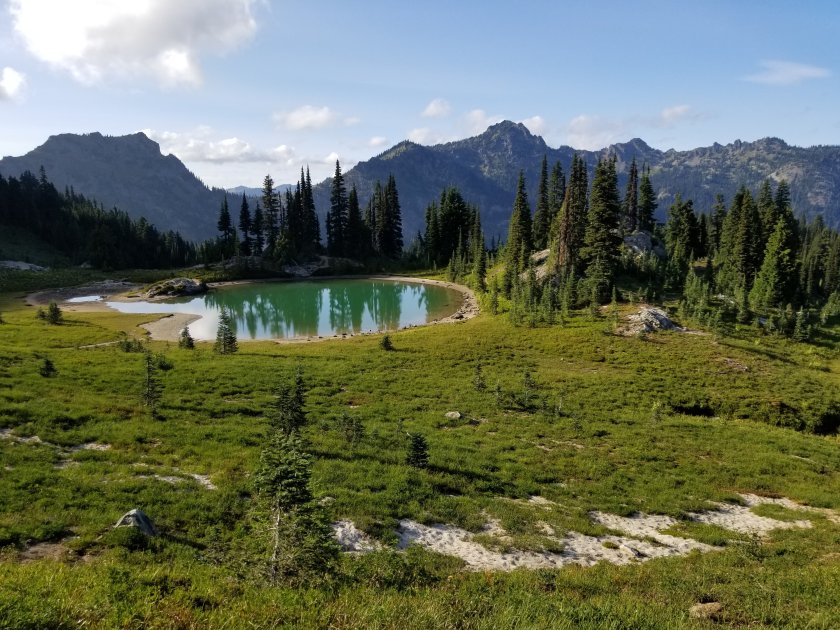
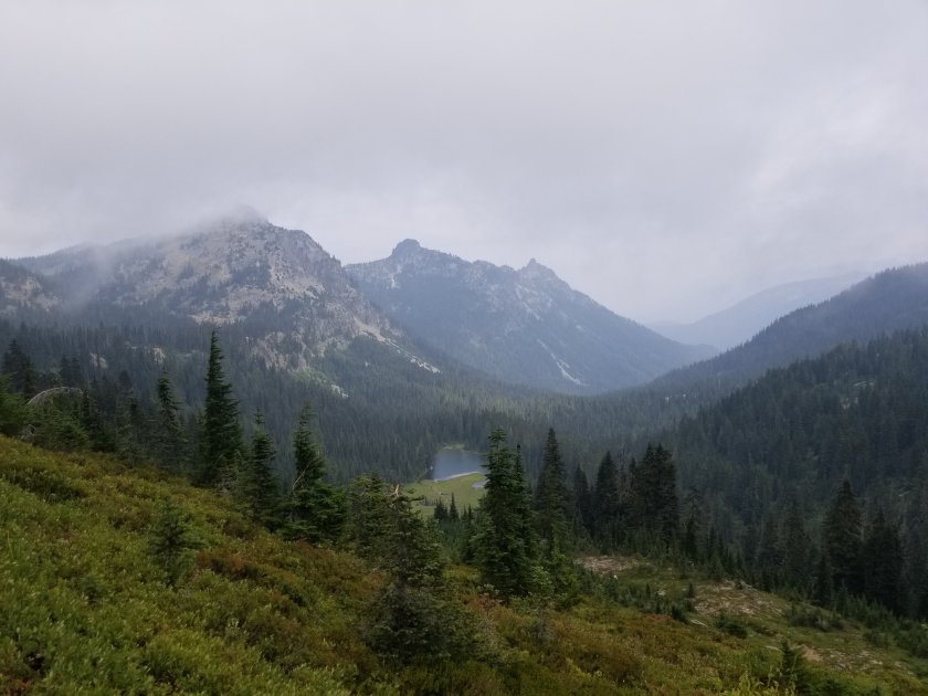
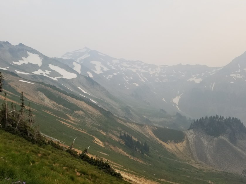
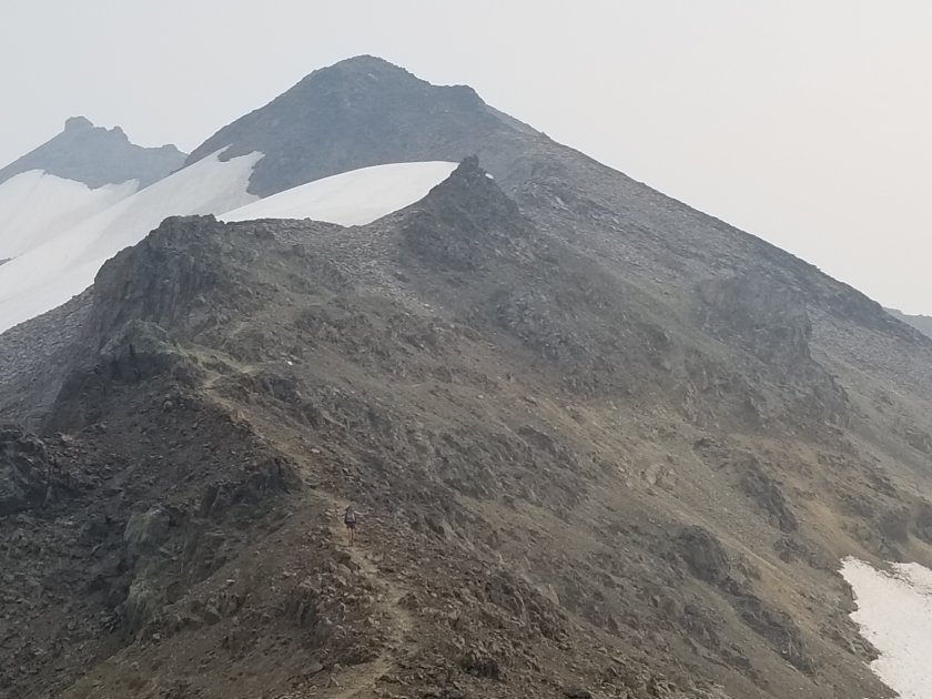
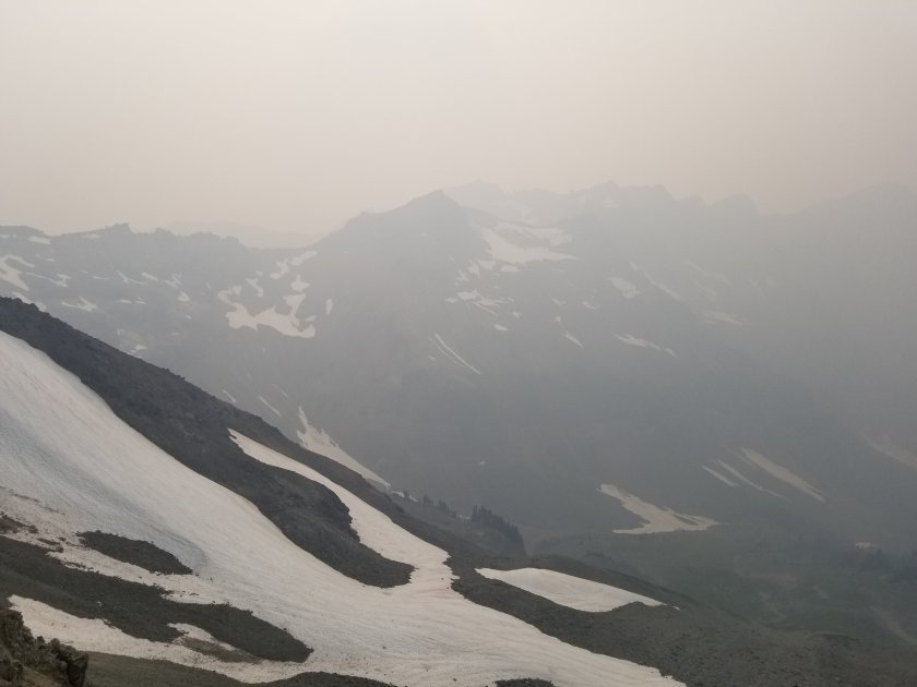
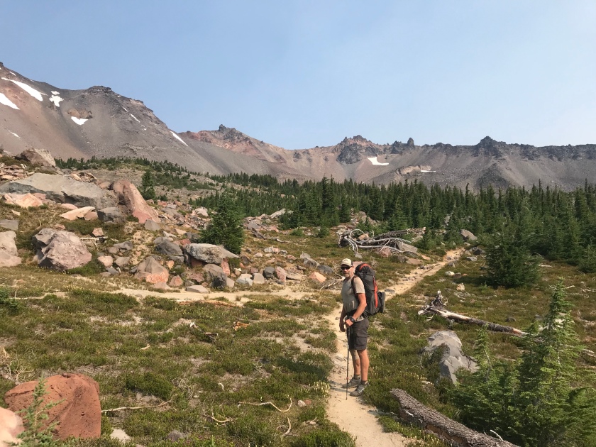
Now we’ve finished our first stretch of about 150 miles in Washington. We’re in the little town of Packwood just south of Mt Ranier. Much of WA so far had looked a lot like Oregon, but with more up and down. But the last section before Packwood goes through an area called Goat Rocks, which is stunning. I’d say it’s the best scenery we’ve seen on the hike since we left the Sierras way down in California, over 1,000 miles ago. Unfortunately, about half of the PCT through Goat Rocks is closed because of a wildfire, so we only got to see the first half. And even in that section we were only able to see through hazy, smoky skies. But it was enough of a taste that I’m sure I’ll be back in clear weather to see the rest sometime.
Needless to say, the pictures don’t do it justice. You’ll just have to trust me when I say it was jaw-dropping.
We are starting to feel the end of the trip nearing. We’re starting to see signs of fall in the mountains up here, the days are starting to get noticeably shorter, and the Canadian border is getting quite close. We both have mixed feelings about this. Of course, it’ll be nice to go back to having all of life’s comforts, including having a place to live, regular showers, fresh produce, access to more stuff than we can carry on our backs, etc. It’s easy to daydream about how nice that all will be, and it’s easy to put our focus into hurrying towards that life.
But, we also both realize that this is a once in a lifetime experience. It’s also an experience that has been overwhelmingly positive. Once it’s over, that’s it. There’s no going back. We’ll probably never again have such a healthy, stress-free, peaceful existence. So we’re really trying to savor these last few weeks. Fortunately, days like yesterday and today filled with amazing scenery make enjoying the present a lot easier.
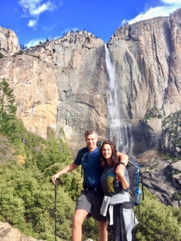
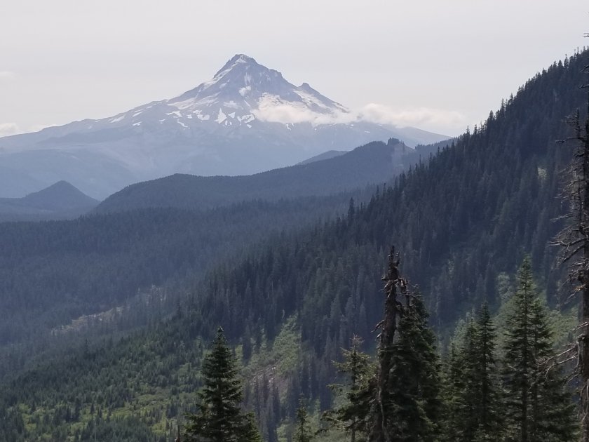
The picture above was taken at Timberline Lodge, by Mt. Hood, which is the highest mountain in Oregon.
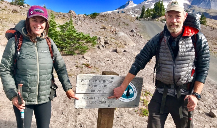
Today is August 14. I’m writing from our hotel room in Cascade Locks, which is a small town at the border of Oregon and Washington. Today we are going to cross the Bridge of Gods on the Columbia river and start our final section of our journey; Washington to Canada. We are little over 80% done with the PCT.
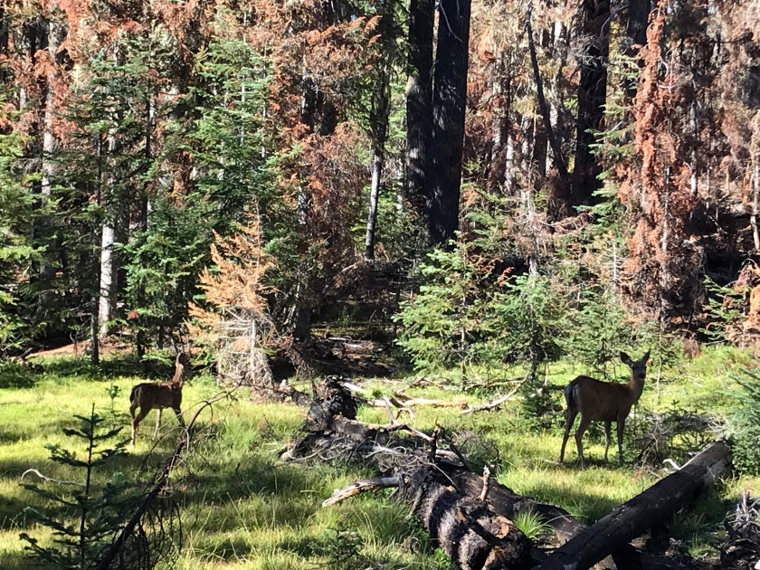
It has been 8 days since my last post in Bend, OR. During these last 8 days we finished the Oregon section of the PCT and we got to see the pretty sides of this state. North Oregon was more enjoyable than South Oregon for many reasons: prettier views, see-through mountain lakes, view of the Cascades, way less mosquitoes and the best part (for me) was unlimited, delicious blueberries and huckleberries.
Finally we learned how much food we need to carry and we barley hungry these days.
NoBo vs. SoBo: We meet many South-bounders these days. They start at the Canadian border around mid July. Their hike starts later and ends later due to the weather in Washington, also South-bounding is a bit harder as there are less trail angel support and they need to get to the Sierras before the snow starts. Regardless we call them Newbies, they just started the hike and they will thin out by California. When they say they are SoBos, some also say that we are still good people. One of our fellow NoBo hiker blamed the SoBos when chubby chipmunks surrounded him during lunch time and he blamed the SoBos to make them persistent around our food.
All North-bound PCT hikers feel the end now, we all are fast-walking or sometimes running on the trail, like we are invincible. We need to remind ourselves to look up and see the surroundings. It’s easy to miss a 1000 feet mountain or a pretty lake when you’re just looking down on the trail and listening to an engaging audiobook.
It is time now to enjoy the last weeks in Washington and finish this hike.
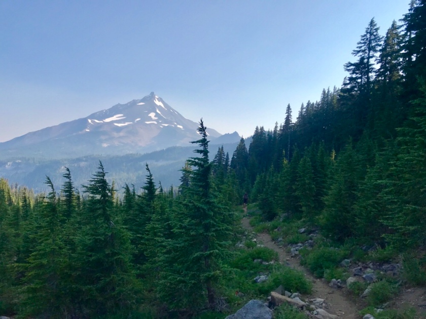
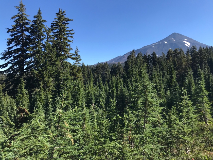
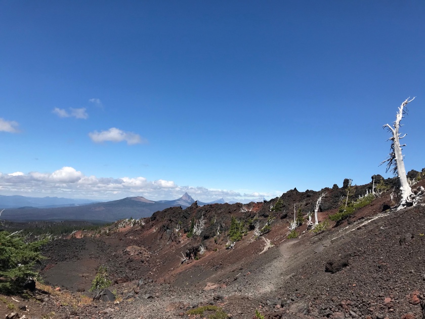
Mt Jefferson
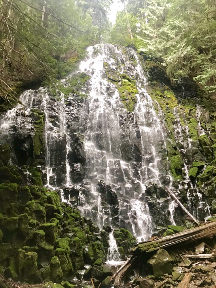
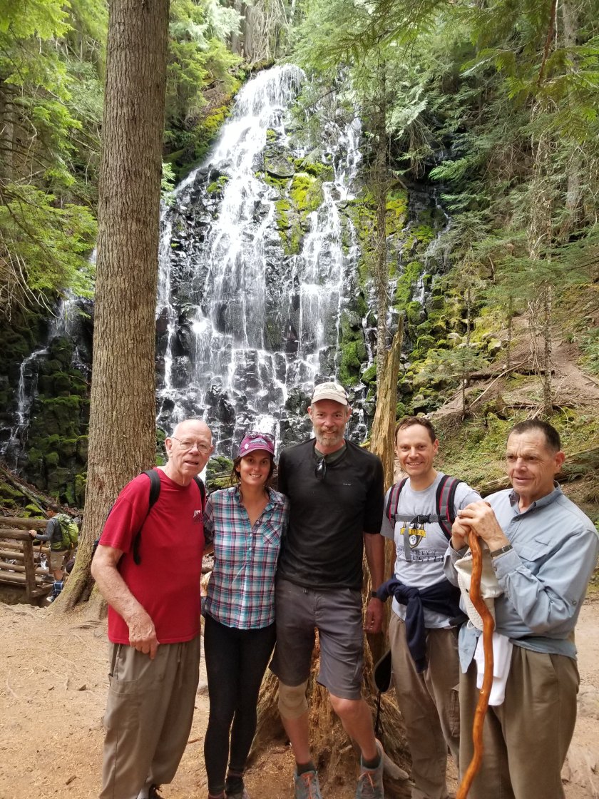
Mike’s dad, uncle, and cousin joined us for a great day of hiking near Mt Hood.
It’s been a while since I wrote. Today is August 5th.
Finally we have great internet connection so I’ll summarize our PCT adventures since we returned to the trail after our vacation in Wyoming.
First day back on the trail in Oregon.
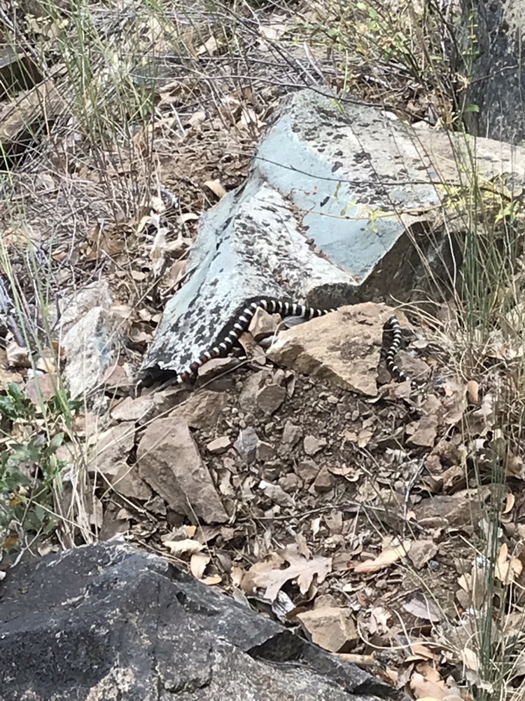
We decided to start back at the California-Oregon border, due to wildfires and smoke in Nor-Cal, hot temperature, also we were getting quite tired of the Nor-Cal scenery. Ohh and the snakes again.
So we skipped 300 miles and started back close to Ashland, OR. We might do the remainder part of CA after reaching Canada, at least that’s the plan.
Oregon: After the Uber driver took us back to the trail, (close to Ashland), we felt a bit out of shape as we walked the first few miles. I guess being off the trail for 10 days and eating ton and food will do that. The curvy Uber ride even made me car sick. I just felt soft, a little heavy and way too clean. Anyway we needed to get back to our normal PCT shape ASAP, and the only way to do that is to just keep walking. So that’s what we did.
Luckily our fellow PCT hikers didn’t change a bit while we were gone, and they reminded us who we really are and where we belong. We were back to being dirty, hungry and stress free in just a few days.
However these PCT hikers are a bit faster than our bubble (bubble means: fellow hikers that you are with from the beginning, as your speed and hiking style is similar). By skipping 300 miles resulted to get mixed with super fast hikers. These guys have perfected trail hiking, and they do 30-40 miles a day. They hike from sunrise to sunset with a very tiny backpack. Some hikers do the Oregon challenge and try to get this state done in 2 weeks. Oregon is well known for being the fastest section, because it’s relatively flat and by this time your body is a hike-machine.
We do between 23-27 miles and it makes Oregon quite fast for us as well.
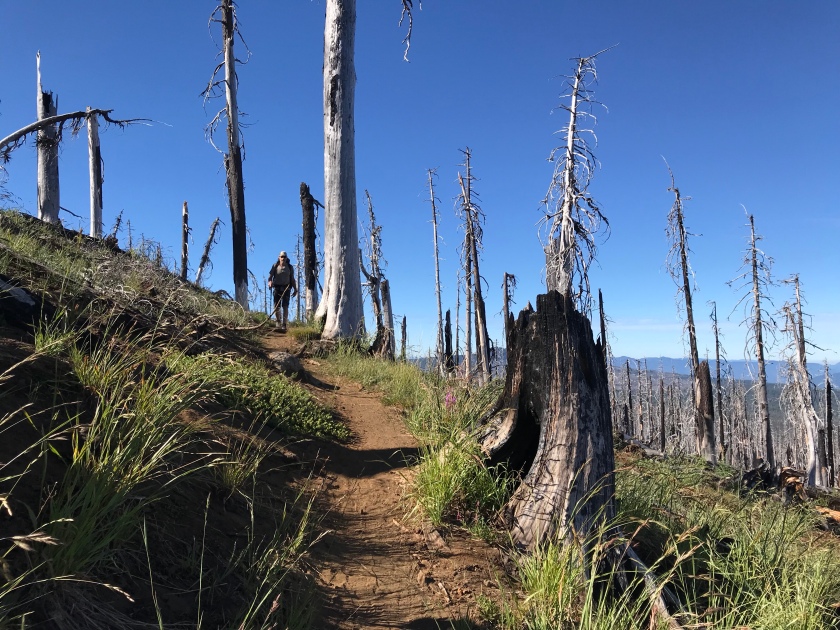
The scenery is mainly endless pine trees with old man’s beard moss on it and volcanic rocks. There are some burned out forests as well.
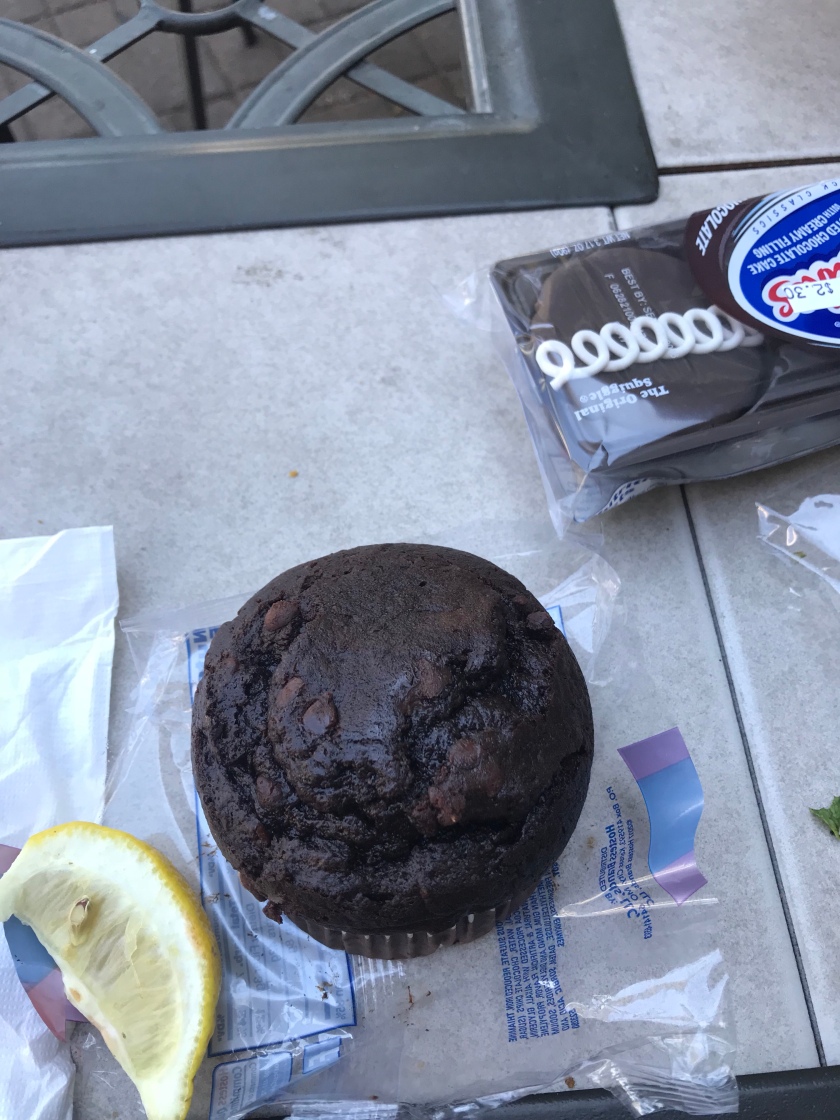
On July 27 we celebrated my birthday in a resort by Diamond Lake with a nice dinner and chocolate cupcake. I appreciated that I was able to take a shower and had a great meal. It was a special day. Thanks Sweetie!
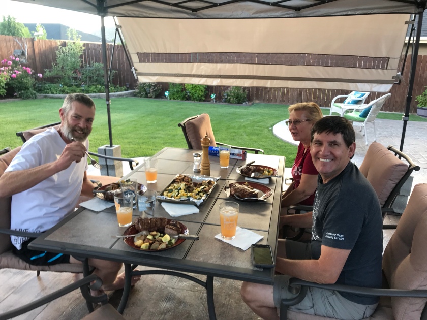
We are in Bend (30 miles from the PCT) with our friends Laura & Gary, and resting today. They are taking care of us big time!
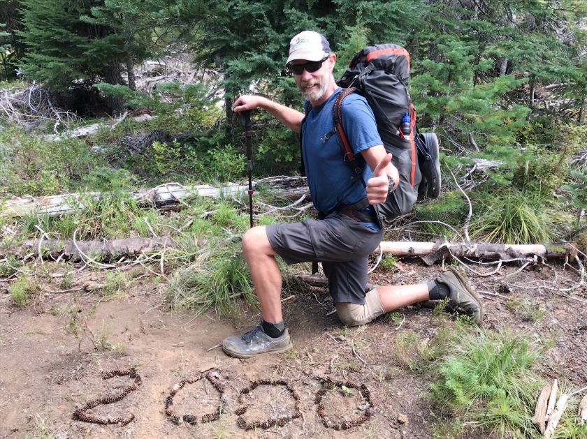
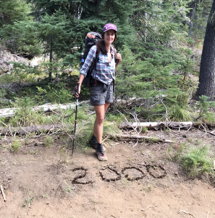
We both bought our fourth pairs of shoes and needless to say, we are eating a lot. We didn’t loose anymore weight in this last stretch. Mike actually gained 3 lbs. We learned to carry more food.
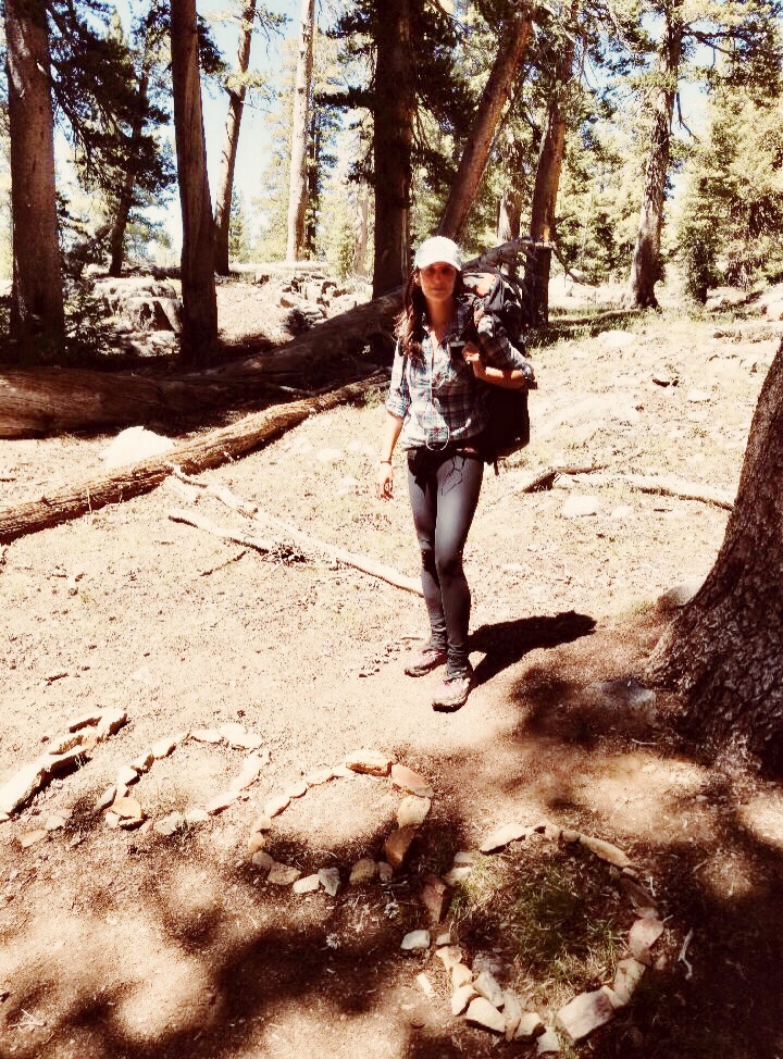
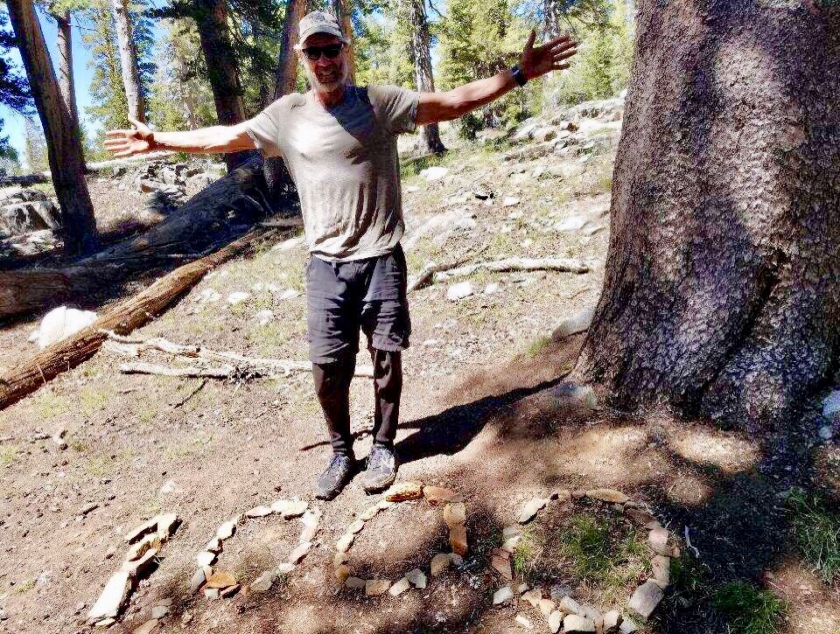
Before Bend we reached 2000 mile.
We see the end of the tunnel now.
There is a chance that we will finish this great hike!
Today is 3rd of July and we are resting in a hotel. We are in Sierra City, and did almost 1200 miles. We are getting closer to half way!
We are doing well. It’s been almost 3 months now since we touched the Mexican border.
After the Sierras, many PCT hikers quit or got injured, so we are clearly thinning out. It’s more like a mental challenge now than physical. We are still in California, but getting closer to Oregon, getting closer to half way.
I’m always optimistic but I can see why people say that Northern California is the hardest. The scenery changed, still pretty but not spectacular and the lower elevation and July brought the heat as well. We have to start carrying more water again. We are doing at least 20 miles per day and we will need to do more and more if we want to get to Canada.
We have been listening to audiobooks, podcasts and lots of music. Probably 4 hours each day. I got to learn about a lot of cool things through Great Courses on Audible.
We are carrying more food now and hopefully stopped losing more weight.
In 10 days we will take more than a week vacation and spend time with Mike’s family in Utah and Wyoming. We are really looking forward to spend some time with family and took a long break.
Before that we have one big stretch and then we get to rest.
I’d like to designate this post to describing a PCT hiker and our everyday life on the trail.
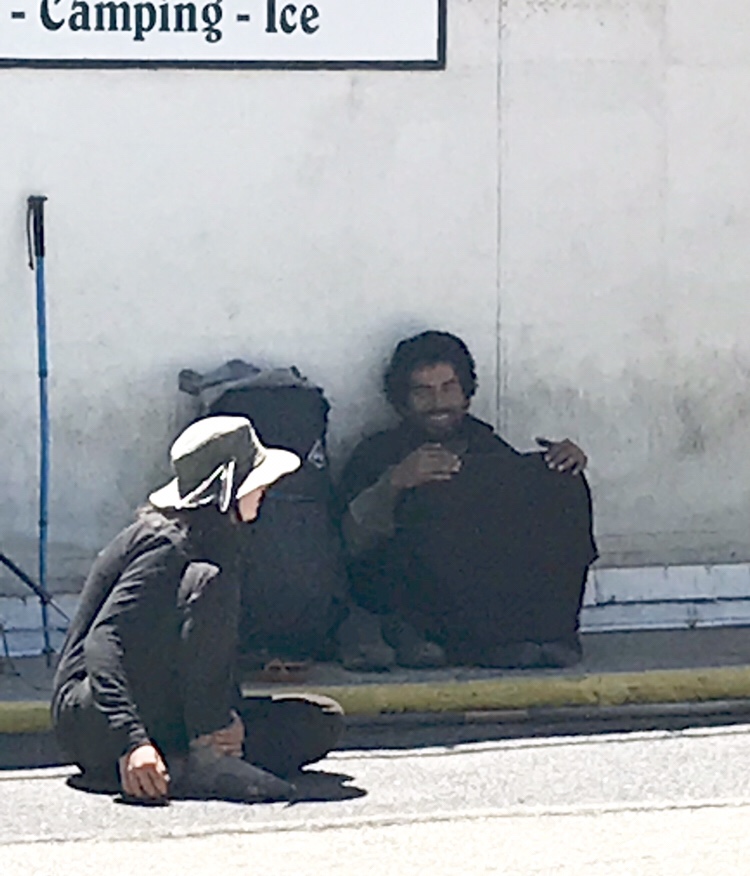
An average PCT hiker is a white male in his early 30’s. He could easily remind you a Jesus- looking homeless person. To be more accurate a healthy and happy homeless person, and actually that’s what we are.
Homeless guy or PCT hiker?
A PCT hiker is always the fastest hiker on the trail. We stood out from the day hikers or any other backpackers in many ways. We are not here to spend a fun weekend or go fishing by a lake or hike a leisurely 10 miles, we are hiking to Canada, therefore a PCT hiker (when they hike) always looks determined, in a rush and hungry. We always recognize a PCT hiker, we just all look alike.
The average PCT hiker is skinny, dirty and most definitely stinky. No exceptions!
They wear a baseball cap or a small sombrero for sun protection. All thru-hikers have a full grown beard, unless they are female or too young to grow it or their ethnicity is Asian. The clothes that they are wearing are faded by the sun, has dirt on it from mud, bugs, food etc.., salt lines from sweating and it’s always the same shirt and shorts. Day and night.
A PCT hiker is normally a stress free individual, unless crossing a strong stream or mosquitos are attacking.
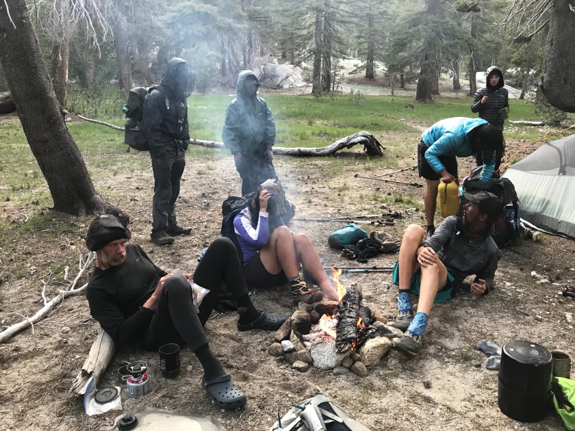
Mosquito invasion. We all wear head nets and made fire to have a break from the blood suckers. Bears are no problem, the mosquitos are.
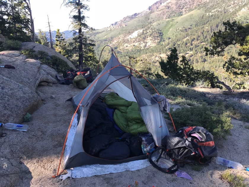
Most PCT hikers have the same gear, backpack, tent, sleeping pads ….. All gear are light or ultralight. For water we use SMART water bottles with a Sawyer filter. Our most important gear is our shoes. They are always trail running shoes, never heavy hiking boots. For camping and easy river crossings we we wear Crocs or barefoot.
We don’t have information about the news or anything in the real world, since most of the time we don’t have cell service. We all go to bed as the sun goes down or before, around 7:45 pm (currently) and sleep 10 hours and wake up at 6 am. We cook oatmeal and make coffee in the morning, pack our gear and start hiking. We’ll take 2-3 breaks until lunch, then during lunch time we kick off our hiking shoes and rest an hour or more in the shade. Then we start hiking again and around 5:30pm we are putting up our tent. Cook dinner, eat, make fire and go to sleep. The next day, repeat.
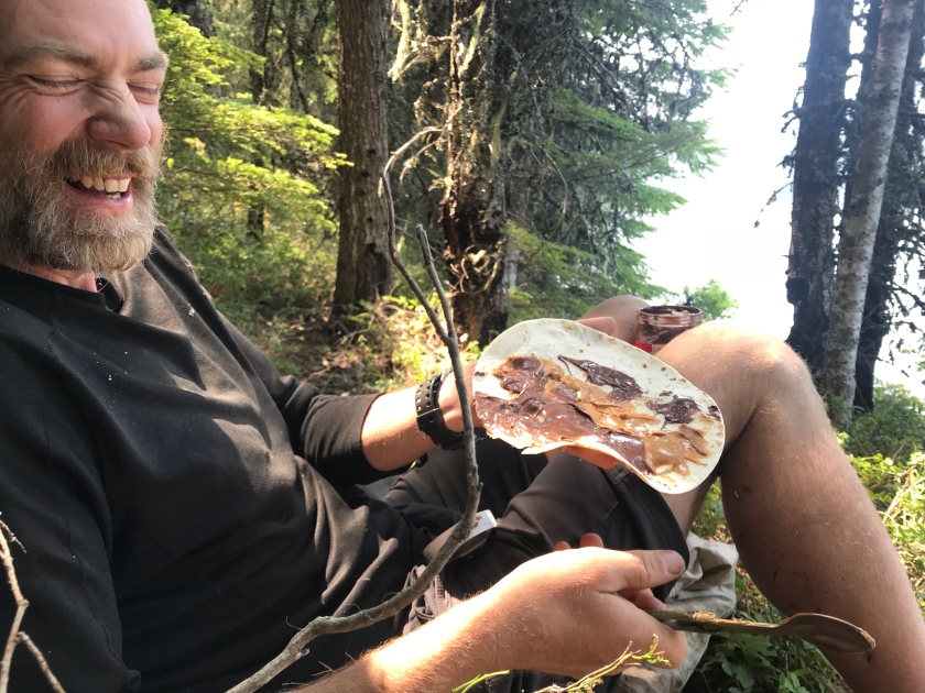
A PCT hiker always has peanut butter, ramen noodles, tortillas, oatmeal, dehydrated potato powder, nuts and tuna. We are constantly trying to get different ideas from different hikers to mix up the repertoire, but the options are limited.
The fresh air and the pine tree scented forests always bring comfort even on hard days.
A PCT hiker in towns and civilization feels a bit lost, at least for the first few hours. Might feel like an outsider or a wild animal. A bit scared and annoyed by big vehicles and noises. I tell Mike when we get close to civilization that I smell humans, I really do.
We have been only living in the nature for 2 and a half months and we changed, we had to.
Where do we belong now? Do we want to be in the noisy civilization where we can easily access food and water, or do we want to survive in the wilderness where there is peace and freedom?
We are taking a well deserved rest day in South Lake Tahoe in a lovely Airbnb.
This is how we look now. And look at the sign above us.
We feel great and very healthy. We do 20 miles each day although we could even do more, but we like to take long lunch breaks and get to camp early.
Total weight loss is 47 pounds. Mike lost 35 and I did 12. I think I’m done losing weight but Mike got to eat more calories! We bought a ton of food and as we got rid off the heavy bear cans and micro spikes after Yosemite by Sonora Pass, now we can supplement the weight with carrying extra food.
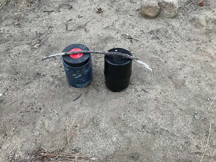
My experiment: Each night I place a wood stick or pine cone on the top of our bear cans to see if a bear comes over while we are sleeping. No bears so far.
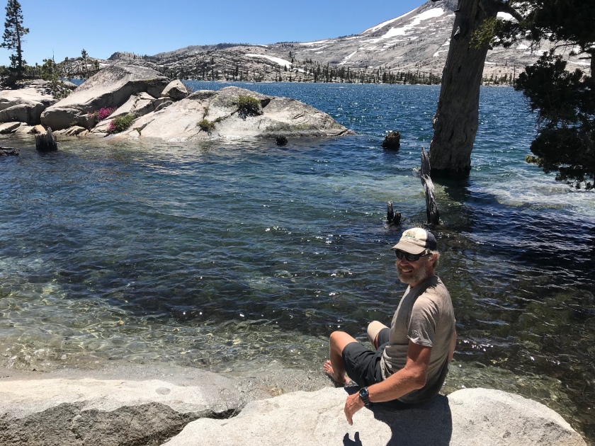
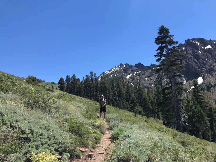
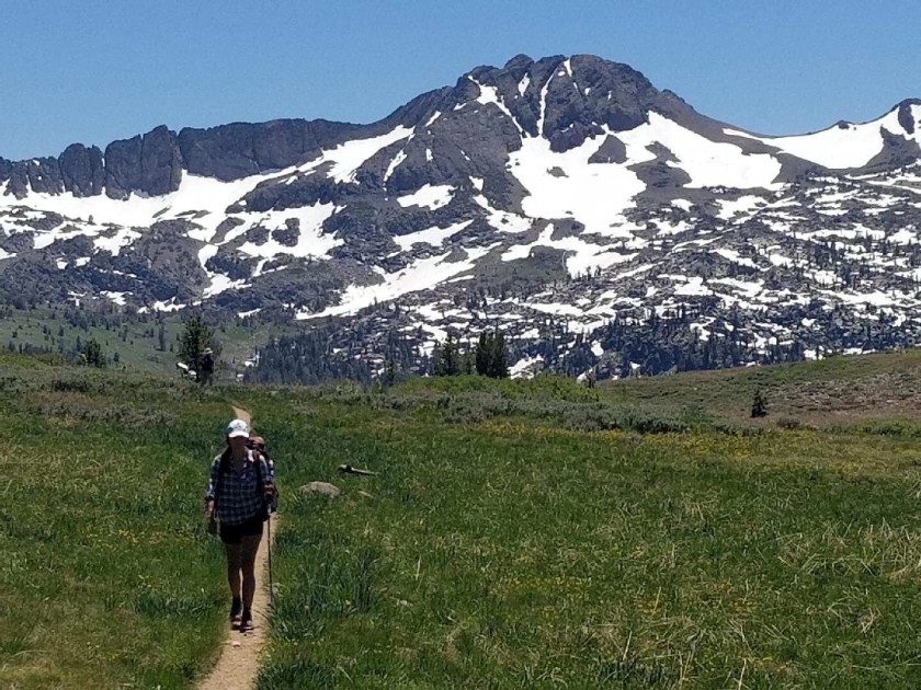
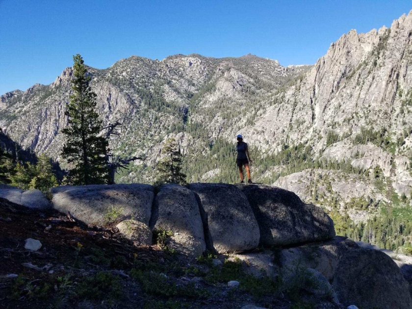
We are done with 40% of the PCT. We finished the High Sierras. From Mammoth we walked to Yosemite and then to South Lake Tahoe.
As the elevation is now around 7000-8000 feet and less snow, we can do more miles per day. As usual we go up and down all day. It’s still 3000 – 4000 feet uphill throughout a day, but our legs are trained to do it easier than before. It’s time to pick up more miles each day. All PCT hikers are hiking more miles now.
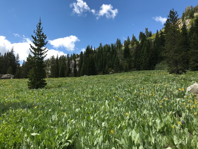
The scenery is still beautiful. Less high mountains, but more wild flowered covered landscape, lakes, rivers and mixed volcanic and granites mountains.


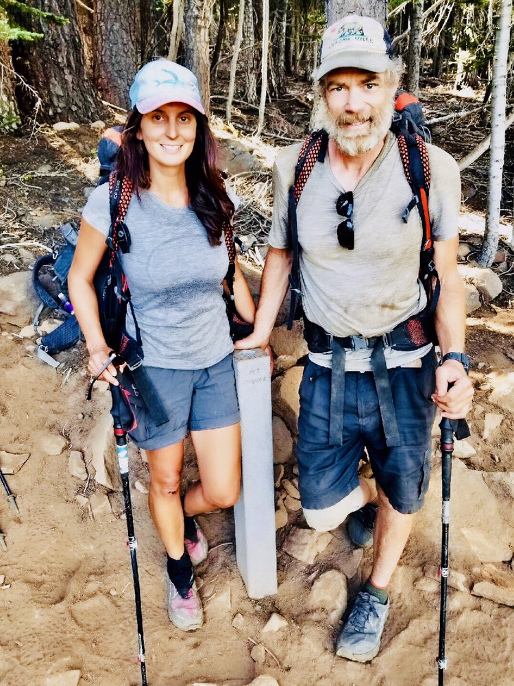 On July 8, we crossed the midpoint of the Pacific Crest Trail in California.