Washington Part 2

Today we’re in a little ski town called Snoqualmie Pass, about half way through Washington. We’re taking our final rest day of the trip today. After this, we’ll just have one 200 mile push to the end.

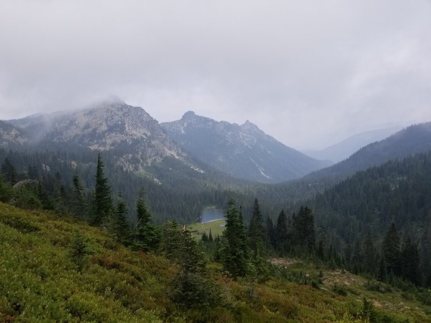
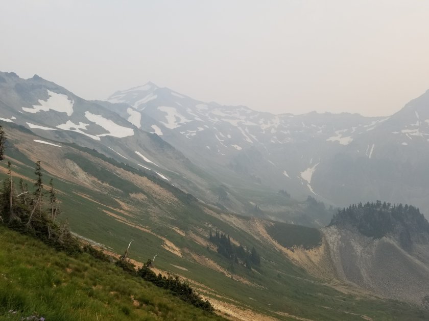
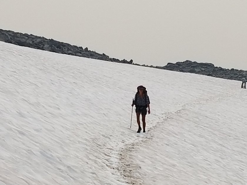
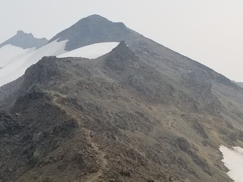
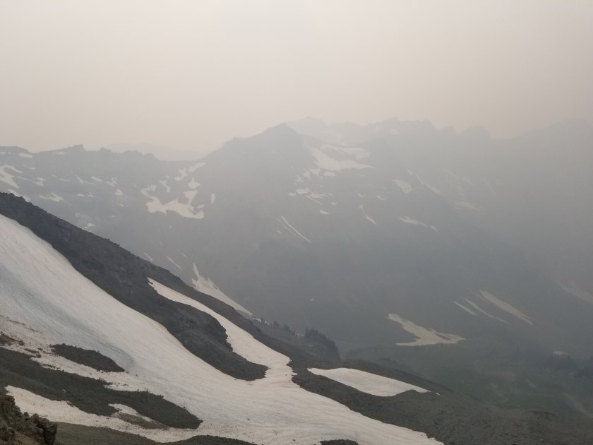
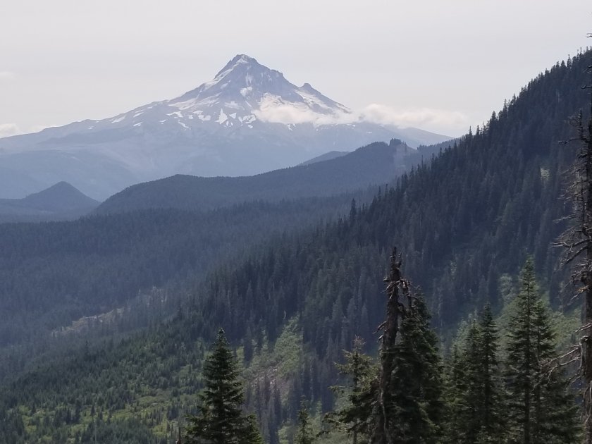
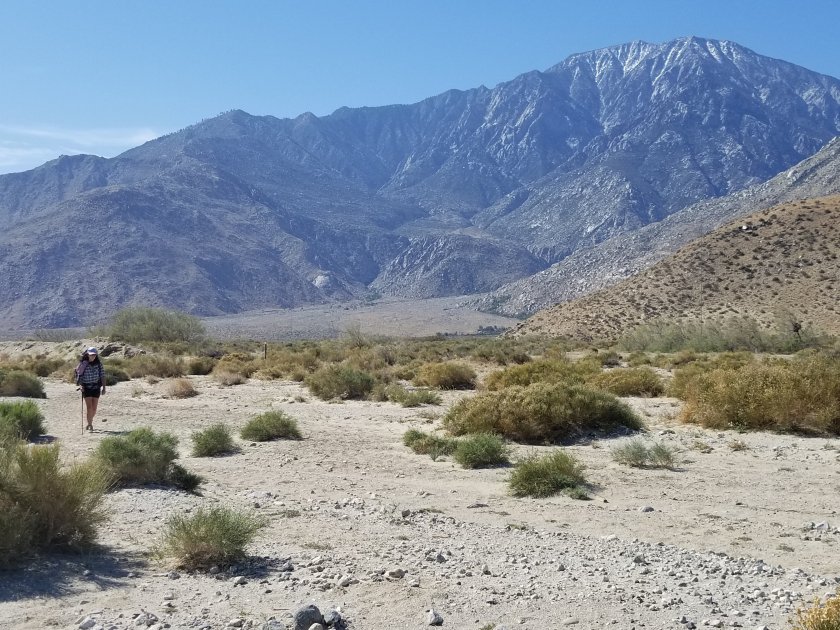
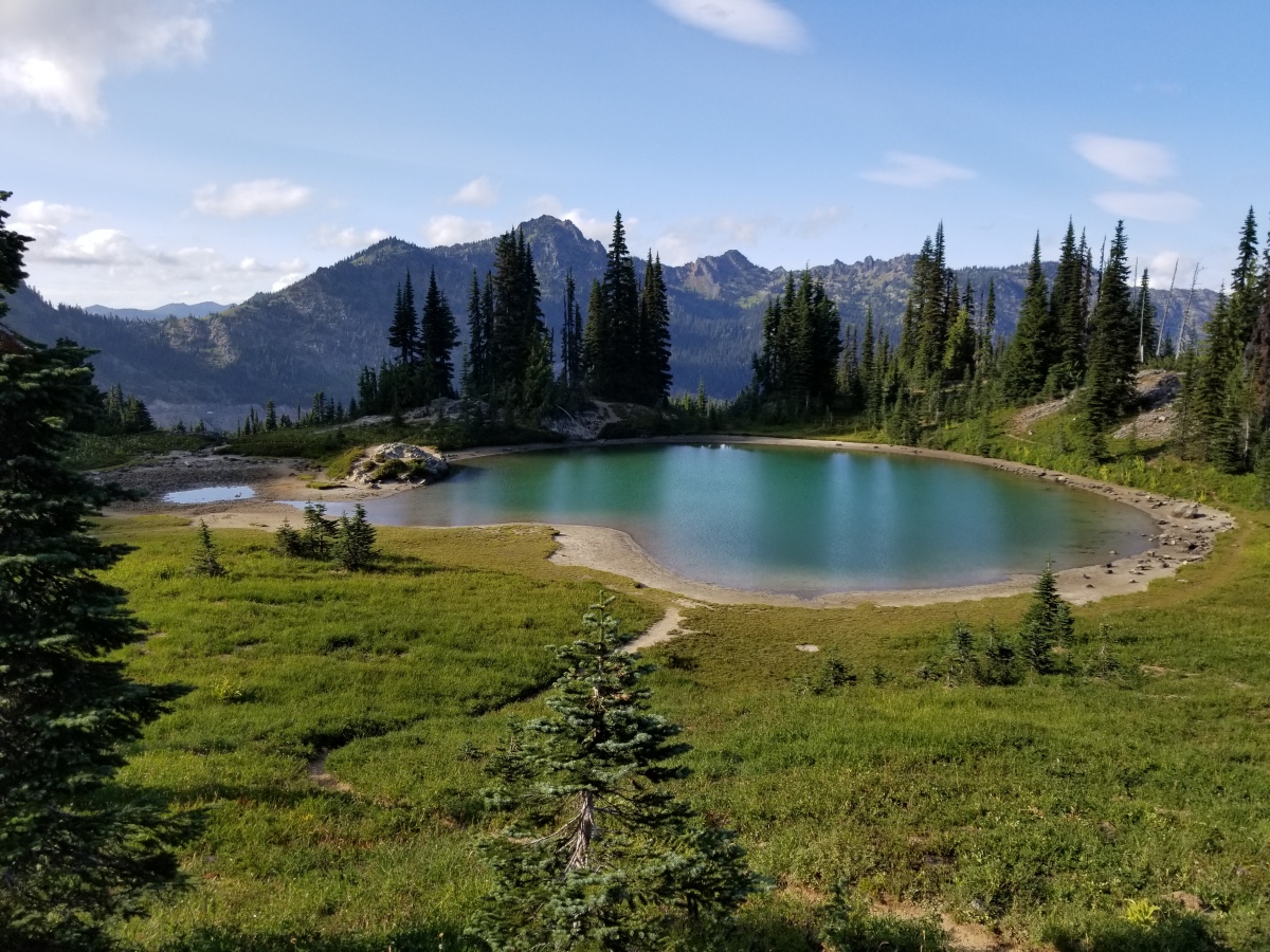
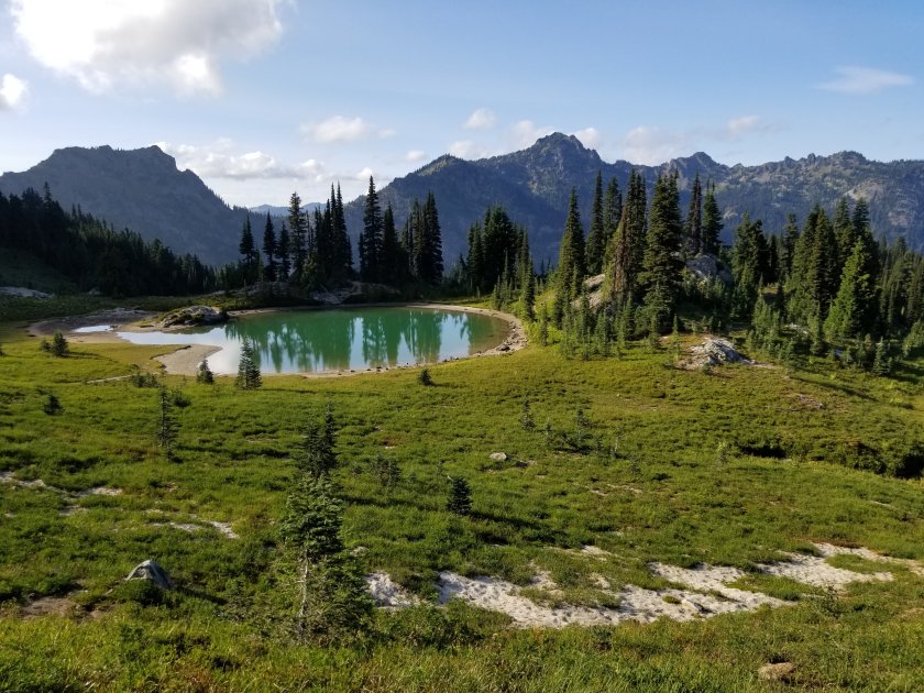
We’ve been loving Washington. It’s hillier and cooler than Oregon, and the scenery is spectacular.

We’re here in peak berry season. Blueberries and huckleberries line the trail almost everywhere, with some occasional raspberries and salmonberries thrown in. We eat them constantly as we hike, and every once in a while we just sit down in a patch of them and gorge. We’ve been craving fresh fruit the whole trip, and eating loads of berries helps satisfy that craving.

Margo taking a blueberry break

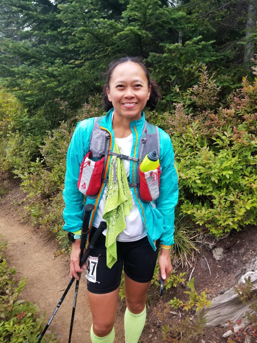
Two days ago (on Saturday), we found ourselves in the middle of an ultra marathon, the Cascade Crest 100 mile run. These nut jobs start running at 9am on Saturday, and don’t sleep until they’ve finished 100 miles. For most of them this takes until Sunday afternoon. Initially I was worried that sharing the trail with so many people who were always running up behind us would be annoying, but it was actually a blast. They energized us, and helped break up the monotony of walking day after day. We were with them around miles 20-30 of their run, so they were still pretty fresh and happy. They were fun to chat with as they ran by. They marveled at what we were doing, and we marveled right back at them. Also, the race aid stations gave us some delicious, carby race food. That got us on their side real quick.

This has been a bad year for wildfires, and we still have 2 north of us that will impact us. The first is a 20 mile section that is closed. This one will require a detour through a little village called Holden, then a boat ride to a place called Steheiken get back on track. That one isn’t too bad, and actually sounds kind of fun, as long as the smoke isn’t too bad.

The second fire is a real bummer for us though. The last 60 miles of the trail before the Canadian border are closed. So we’ve decided to end our hike at the closure, at Rainy Pass. We may drive around to Manning Park in Canada and hike south for a day to the monument that is the official end of the PCT – for now its still legal to get to the monument that way. But it’s a shame we won’t be able to hike straight to the border like we’d planned.

But, we’ve still got 200 miles of hiking ahead of us, and everyone says the best of Washington is still to come. We’ll savor every bit of it.

Washington Part

This is Mike writing. Since we have pretty limited time with internet connectivity, Margo has decided she’s going to use that time to start looking for a post-hike job. So I’m taking over the blog, at least for now.

Our journey into Washington started out by crossing the Columbia River over the Bridge of the Gods. That was a neat experience. Since the CA/OR border was closed due to fire when we passed by, this was our only state line crossing on the whole hike. Of course, we documented it well with photos.

Now we’ve finished our first stretch of about 150 miles in Washington. We’re in the little town of Packwood just south of Mt Ranier. Much of WA so far had looked a lot like Oregon, but with more up and down. But the last section before Packwood goes through an area called Goat Rocks, which is stunning. I’d say it’s the best scenery we’ve seen on the hike since we left the Sierras way down in California, over 1,000 miles ago. Unfortunately, about half of the PCT through Goat Rocks is closed because of a wildfire, so we only got to see the first half. And even in that section we were only able to see through hazy, smoky skies. But it was enough of a taste that I’m sure I’ll be back in clear weather to see the rest sometime.

Needless to say, the pictures don’t do it justice. You’ll just have to trust me when I say it was jaw-dropping.

We are starting to feel the end of the trip nearing. We’re starting to see signs of fall in the mountains up here, the days are starting to get noticeably shorter, and the Canadian border is getting quite close. We both have mixed feelings about this. Of course, it’ll be nice to go back to having all of life’s comforts, including having a place to live, regular showers, fresh produce, access to more stuff than we can carry on our backs, etc. It’s easy to daydream about how nice that all will be, and it’s easy to put our focus into hurrying towards that life.

But, we also both realize that this is a once in a lifetime experience. It’s also an experience that has been overwhelmingly positive. Once it’s over, that’s it. There’s no going back. We’ll probably never again have such a healthy, stress-free, peaceful existence. So we’re really trying to savor these last few weeks. Fortunately, days like yesterday and today filled with amazing scenery make enjoying the present a lot easier.

The High Sierras

Hi, this is Mike writing while Margo is making dinner.

We’re in Mammoth today after a long stretch through what is probably the most beautiful part of the PCT – the high Sierra. It’s been a long haul for us, and we’re both tired and thrilled with the scenery we’ve seen.

The section started out of the little tourist town of Lone Pine. Before starting, we spent a couple of days with my friend and mountaineer extrodinaire Mihai, who just moved to Bishop and was kind enough to host us for a couple of days. After eating all we could and getting as much rest as our bodies would take, we headed back south to Lone Pine and up into the mountains for a long, tough stretch. Or next resupply was 10 days and 6 snowy passes away.

We took a day to summit Mt Whitney along the way. This is off the PCT, but since we were so close and already pretty acclimated we couldn’t resist. It was a fun day with great weather and gorgeous scenery. It was Margo’s 2nd 14er (her first was Mt Sill, which is significantly more difficult). It was a worthwhile detour for sure.

From there we started crossing the high passes that stripe the Sierras. Since the passes are a lot easier to cross in the morning when the snow is hard, we got into a pattern where we’d camp at the base of a pass, then get up early (usually 5 am, but sometimes earlier) and get over the pass by mid-morning. Then in the afternoon we’d hike to the base of the next pass and repeat the process the next day. We did that for about 7 days in a row, and it definitely wore on us by the end.

Forrester pass, the PCT high point
Margo crossing a nerve wracking chute on the way up to Forrester

It was also our longest stretch without resupplying with more food, and by the end we were running pretty low on stuff to eat. The last couple of days we were surviving off protein powder and dehydrated peanut butter. I’m not gonna lie – it was tough. I had to poke a new hole in my belt as my waist continued to contract.

But, the scenery was absolutely amazing. Day after day of epic vistas, pristine lakes, snowy peaks, and swollen streams. It was absolutely stunning. I loved it despite the hardships, and it was a joy to share the best parts of my favorite mountain range with Margo.

Rae Lakes, a famously gorgeous spot along the PCT

Tomorrow we’ll head out to finish the Sierras. In a couple days we’ll pick up some more food in Yosemite National Park, then push through to the end of the Sierras in South Lake Tahoe about a week later. The scenery will still be great, but sadly I know the best part of this trail is now behind us.

Day 14 and 15

This is Mike, writing a summary of the last couple days while Margo does our laundry.

Yesterday we had what I think is the steepest, longest descent of the entire PCT. We dropped down from just below the San Jacinto summit to the desert floor, near Cabazon, CA. From the summit it’s about a 9,500′ drop over about 25 miles, and we did most of that, at least elevation- wise, yesterday. It’s a drop I’ve been dreading since we started, but we made it through it with no major joint problems or pain, which is more than I’d hoped for.

We did encounter a swarm of bees, but out of 5 of us I was the only one that got stung. By PCT standards that’s a hugely successful day. Here’s the stinger Margo pulled out of my neck.

It’s nice to be back down at lower elevations where it’s warm. Last night was the first night in a while we could actually sit outside and watch the sunset without freezing, and it was really enjoyable.

Today we got a hotel in Banning, right on the I-10 freeway where it passes between the San Jacinto and San Gorgonio ranges. Tomorrow we start climbing again up into the San Gorgonio mountains, but for today it’s so nice to rest a little. We had lunch at Sizzler and I don’t think I’ve ever eaten so much food in one sitting. Everything was so delicious. Either Banning has the best Sizzler in the country, or we’re really hungry.